Overview
Researchers
Ram Fishman
Senior lecturer of Public Policy at Tel Aviv University
- Country
- India
- Timeline
- 01/01/2023 - 04/01/2023
- Previously Funded Stages
- Pilot
- Constraints
- Information
- Technology Category
- Extension, Irrigation, Soil Testing
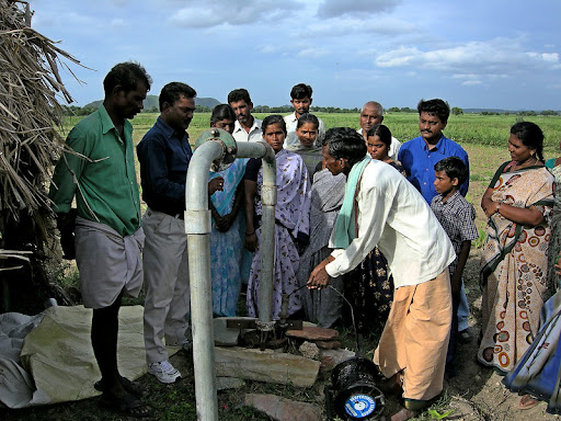
Photo credit: Jake Burke | Flickr
| Irrigation may improve agricultural productivity by allowing farmers to cultivate multiple harvests per year, grow water-intensive crops, and reduce production uncertainty by decoupling production from the weather. However, poor water management practices can lead to groundwater depletion. One reason that farmers may not adopt efficient irrigation practices is lack of financial incentives to do so; in many regions, farmers pay neither for groundwater use nor for the electricity required for water extraction. Another reason may be lack of information on how much water is optimal for crops versus what is actually applied. Smart ICT based irrigation technologies can help determine optimal water usage by combining remotely sensed imaging, algorithmic analysis, and weather forecasts. Several technologies of this kind been introduced in recent years, raising hope they can also help smallholder farmers to achieve more precision in their irrigation.
However, for these technologies to be of value, they need to provide information that is reliable and accurate, including in the small plot context. This pilot study found that while remote sensing-based irrigation recommendation platforms hold promise for smallholder farmers, current commercial platforms lack the precision and contextual relevance needed for effective adoption and impact. This study compared daily irrigation recommendations from two companies, both using remote sensing, and found that the recommendations varied greatly. Specifically, these platforms showed discrepancies in both evapotranspiration and precipitation measurements, with only poor to moderate correlation between their outputs. The study revealed that these inconsistencies stemmed from limitations in satellite data resolution, weather data granularity, and the complex realities of smallholder farming, such as water sharing and unreliable field measurements. Beyond technical limitations, the study also highlighted that most smallholder farmers lack the tools to measure irrigation precisely. Furthermore, current application interfaces do not account for resource constraints or the practical challenges farmers face, further limiting the utility of these technologies. |